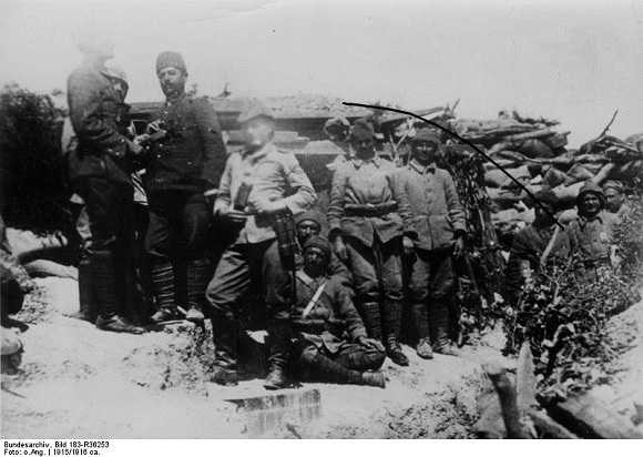
Archaeologists in Turkey are making a detailed survey of the famous World War One battle of Gallipoli. Using period military maps and GPS technology, they’re mapping the old trenches and redoubts used by both sides.
 Gallipoli was the scene of fierce fighting starting in 1915. A peninsula with highlands dominating the Dardanelles strait linking the Black and the Aegean seas, it guarded the western approach to the Ottoman capital of Constantinople, now Istanbul. The Ottoman Empire was on Germany’s side during World War One and the British Empire’s high command believed an attack on Gallipoli would be the first step to knocking the Ottomans out of the war.
They were wrong. The Ottoman Empire, long dismissed “the sick man of Europe”, put up a determined resistance and the British, Canadian, Australian, New Zealand, and French troops got stuck on the beaches as Ottoman troops pummeled them from the highlands. After nine bloody months, the allies sailed away.
The international team of Turkish, Australian, and New Zealand archaeologists and historians have discovered large numbers of artifacts from the battle and are busy working out a complete map of the complicated network of trenches, many of which can still be clearly seen today.
The battle started 25 April 1915, and this date is marked as ANZAC Day in Australia and New Zealand. ANZAC stands for Australian and New Zealand Army Corps, who did some of the toughest fighting in the campaign. Many people in both of these countries feel the soldiers’ efforts proved the worth of the two young nations.
Last year archaeologists discovered the HMS Lewis and a barge sunk off the shore.
via Gallipoli battlefield being mapped by GPS | Gadling.com.

Leave a Reply